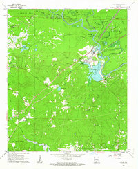
1962 Map of Calion
USGS Topo · Published 1963About this map
The Ouachita River winds through this 1960s landscape, defining the boundary between Union and Calhoun counties and shaping a complex network of backwaters like Tupelo Gum Brake and Babb Lake. The settlement of Calion serves as a focal point where the Chicago Rock Island and Pacific railroad crosses the river, adjacent to the massive Calion Lake Spillway.
Find a feature on this map
55 named features on this map. Tap any name to fly to it.
Don’t see what you’re looking for? This feature index may not catch every label — zoom into the map to look around manually.
Map Details
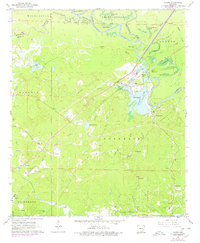
Editions of this 1962 Calion Map
2 editions found
Other maps of this area

1927 · El Dorado
USGS Topo · 1:62,500

1930 · El Dorado
USGS Topo · 1:62,500

1933 · Strong
USGS Topo · 1:62,500

1934 · Moro Bay
USGS Topo · 1:62,500

1937 · Strong
USGS Topo · 1:62,500

1938 · Moro Bay
USGS Topo · 1:62,500

1939 · Moro Bay
USGS Topo · 1:62,500

1939 · Strong
USGS Topo · 1:62,500

1951 · El Dorado
USGS Topo · 1:62,500

1953 · El Dorado
USGS Topo · 1:250,000