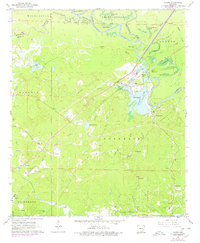
1962 Map of Calion
USGS Topo · Published 1978About this map
Calion sits at a strategic bend of the Ouachita River, serving as a focal point for the regional timber and oil industries during the early 1960s. The landscape is a complex network of river hydrology and industrial infrastructure, characterized by numerous backwater brakes like Tupelo Gum Brake and Dead Brake. The Chicago Rock Island and Pacific railroad bisects the terrain, connecting the riverfront at Calion Lake to inland settlements and extensive gas and oil fields.
Find a feature on this map
59 named features on this map. Tap any name to fly to it.
Don’t see what you’re looking for? This feature index may not catch every label — zoom into the map to look around manually.
Map Details
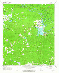
Editions of this 1962 Calion Map
2 editions found
Other maps of this area

1927 · El Dorado
USGS Topo · 1:62,500

1930 · El Dorado
USGS Topo · 1:62,500

1933 · Strong
USGS Topo · 1:62,500

1934 · Moro Bay
USGS Topo · 1:62,500

1937 · Strong
USGS Topo · 1:62,500

1938 · Moro Bay
USGS Topo · 1:62,500

1939 · Moro Bay
USGS Topo · 1:62,500

1939 · Strong
USGS Topo · 1:62,500

1951 · El Dorado
USGS Topo · 1:62,500

1953 · El Dorado
USGS Topo · 1:250,000