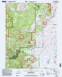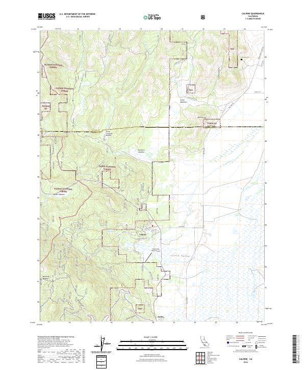
1981 Map of Calpine
USGS Topo · Published 1982About this map
Calpine sits at the western edge of the expansive Sierra Valley, serving as a central point for this 1981 survey of the Plumas and Sierra County borderlands. The landscape transitions from the flat, channelized drainage of the valley floor into the timbered slopes of the Tahoe National Forest and Plumas National Forest. Local industry and infrastructure are represented by an Old Railroad Grade and a Landing Strip south of the town center, while water management is evidenced by several flowing wells and the Calpine Res. For genealogists and local historians, the map identifies specific landmarks like Westside Cem, McPherrin Camp, and the Calpine Lookout atop the ridge. Numerous high-altitude meadows, including Knuthson Meadow and Folchi Meadows, suggest the area's historical reliance on seasonal grazing and timber harvesting within the national forest boundaries.
Find a feature on this map
39 named features on this map. Tap any name to fly to it.
Don’t see what you’re looking for? This feature index may not catch every label — zoom into the map to look around manually.
Map Details
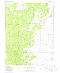
Editions of this 1981 Calpine Map
2 editions found
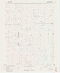
Historical Maps of Calpine Through Time
6 maps found