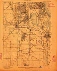
1901 Map of Calumet
USGS Topo · Published 1911About this map
Calumet Lake and its surrounding wetlands anchor this turn-of-the-century portrait of a region rapidly industrializing. The landscape is defined by a dense web of competing rail lines, including the Ill. Cent. R. R. and the Chicago Terminal Transfer R. R., which fuel the growth of company towns like Pullman and manufacturing centers such as Harvey and Blue Island. These corridors connect established residential areas like Morgan Park and Washington Heights with the heavy industrial reaches near Wolf Lake and the Illinois Indiana State Boundary Line.
Find a feature on this map
73 named features on this map. Tap any name to fly to it.
Don’t see what you’re looking for? This feature index may not catch every label — zoom into the map to look around manually.
Map Details
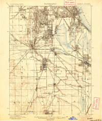
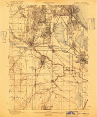
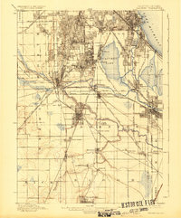
Editions of this 1901 Calumet Map
5 editions found

Other maps of this area

1889 · Chicago
USGS Topo · 1:62,500

1890 · Des Plaines
USGS Topo · 1:62,500

1891 · Chicago
USGS Topo · 1:62,500

1891 · Riverside
USGS Topo · 1:62,500

1892 · Calumet
USGS Topo · 1:62,500

1893 · Calumet
USGS Topo · 1:62,500

1893 · Riverside
USGS Topo · 1:62,500

1894 · Des Plaines
USGS Topo · 1:62,500

1900 · Chicago
USGS Topo · 1:62,500

1900 · Des Plaines
USGS Topo · 1:62,500