
1901 Map of Calumet
USGS Topo · Published 1901About this map
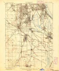
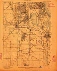
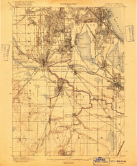
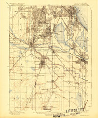
The Little Calumet River snakes through this industrial corridor at the dawn of the 20th century, revealing the dense rail network and nascent manufacturing settlements south of the Chicago City Line. This 1901 survey documents the established company town of Pullman, situated on the shores of Calumet Lake, along with a string of growing communities like Blue Island, Harvey, and Kensington. The map illustrates the dominance of the railroad industry in shaping the landscape, with dozens of lines including the Chicago Junction R. R. and Michigan Central R. R. crisscrossing the marshy terrain between Wolf Lake and the various suburban junctions. Genealogists will find significance in the clear plotting of Mt. Olivet Cemetery and Greenwood Cemetery, as well as institutional landmarks like the Glenwood Industrial School near the banks of Thorn Creek.
Find a feature on this map
73 named features on this map. Tap any name to fly to it.
Don’t see what you’re looking for? This feature index may not catch every label — zoom into the map to look around manually.
Map Details
Editions of this 1901 Calumet Map
5 editions found
Other maps of this area

1889 · Chicago
USGS Topo · 1:62,500

1890 · Des Plaines
USGS Topo · 1:62,500

1891 · Chicago
USGS Topo · 1:62,500

1891 · Riverside
USGS Topo · 1:62,500

1892 · Calumet
USGS Topo · 1:62,500

1893 · Calumet
USGS Topo · 1:62,500

1893 · Riverside
USGS Topo · 1:62,500

1894 · Des Plaines
USGS Topo · 1:62,500

1900 · Chicago
USGS Topo · 1:62,500

1900 · Des Plaines
USGS Topo · 1:62,500