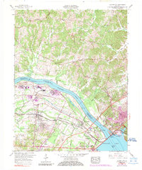
1958 Map of Calvert City
USGS Topo · Published 1989About this map
Calvert City serves as the industrial and transport anchor for this Marshall County landscape, situated near the confluence of the Ohio River and the Tennessee River. This late-1950s record documents a region shaped by major water management projects, most notably the massive Kentucky Dam which creates the expansive Kentucky Lake. The transition from river-based transport to industrial rail is evident through the presence of the Illinois Central railroad and river landmarks like Haddox Ferry and Stanley Landing.
Find a feature on this map
35 named features on this map. Tap any name to fly to it.
Don’t see what you’re looking for? This feature index may not catch every label — zoom into the map to look around manually.
Map Details
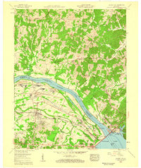
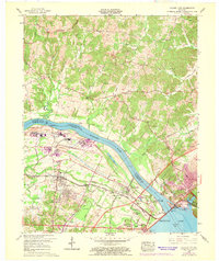
Editions of this 1958 Calvert City Map
3 editions found
Other maps of this area

1928 · Eddyville
USGS Topo · 1:48,000

1929 · Smithland
USGS Topo · 1:62,500

1931 · Eddyville
USGS Topo · 1:62,500

1936 · Elva
USGS Topo · 1:24,000

1936 · Eddyville
USGS Topo · 1:48,000

1936 · Grand Rivers
USGS Topo · 1:24,000

1936 · Smithland
USGS Topo · 1:48,000

1936 · Benton
USGS Topo · 1:48,000

1936 · Birmingham
USGS Topo · 1:24,000

1936 · Golden Pond
USGS Topo · 1:48,000