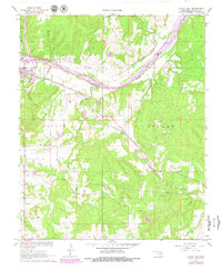
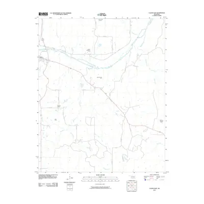
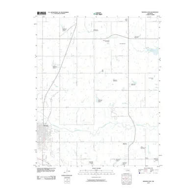
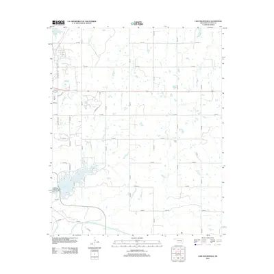
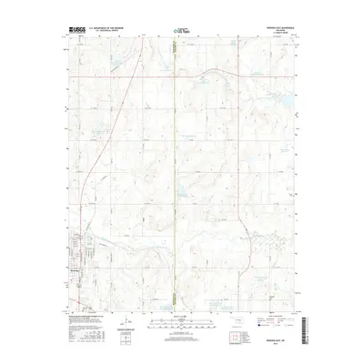
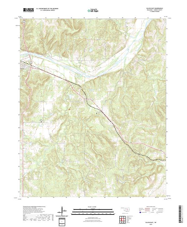
1967 Map of Calvin East
USGS Topo · Published 1979About this map
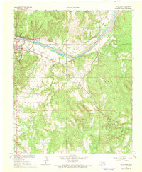
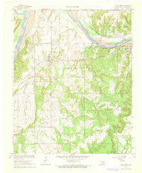
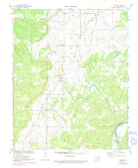
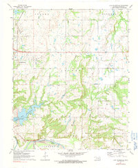
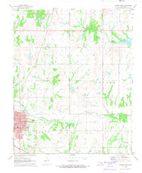
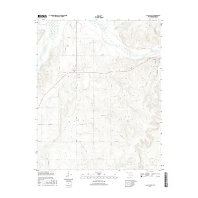
The Canadian River carves a broad valley through the center of this Oklahoma landscape, defined by a complex network of waterways including Salt Creek, Coal Creek, and Spring Creek. The town of Calvin serves as a critical junction for transportation, where the Chicago Rock Island and Pacific and Missouri Pacific railroads converge near the riverbank. This intersection of rail lines and river access shaped the settlement pattern of the late 1960s, which is further documented by the presence of a Gaging Station monitoring the river's flow.
Find a feature on this map
25 named features on this map. Tap any name to fly to it.
Don’t see what you’re looking for? This feature index may not catch every label — zoom into the map to look around manually.
Map Details
Editions of this 1967 Calvin East Map
2 editions found
Historical Maps of Calvin Through Time
36 maps found
1967 Calvin East
Hughes County, OK
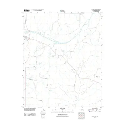
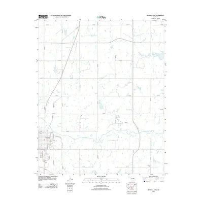
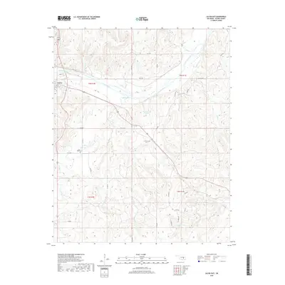
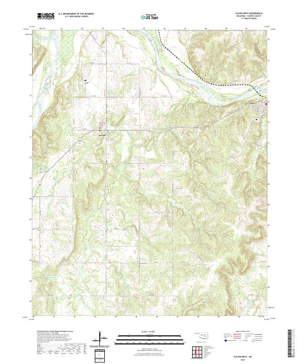
1967 Calvin West
Hughes County, OK
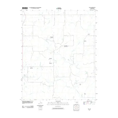
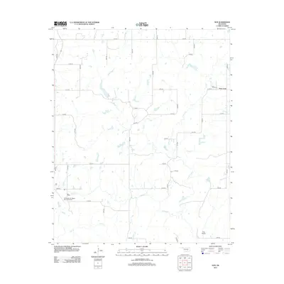
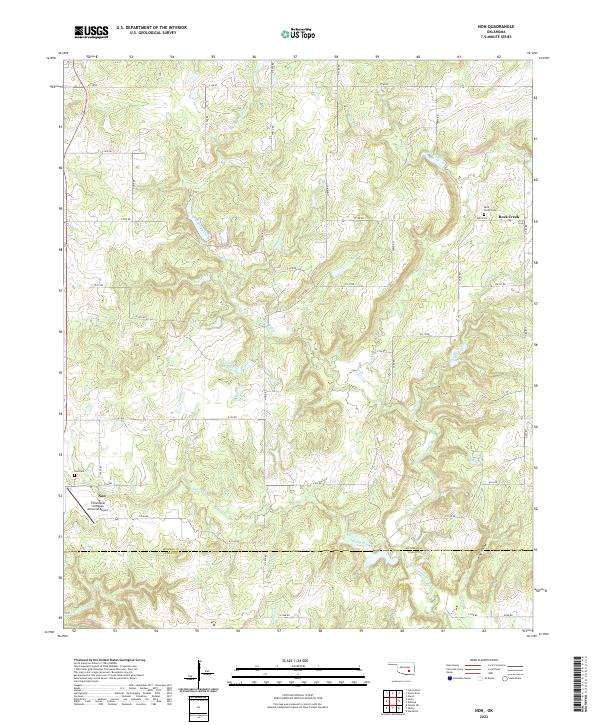
1967 Non
Hughes County, OK
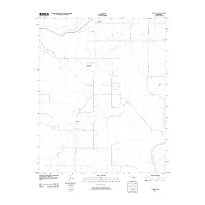
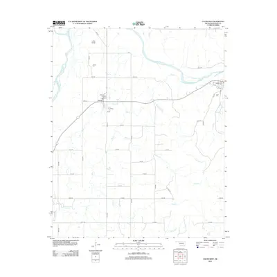
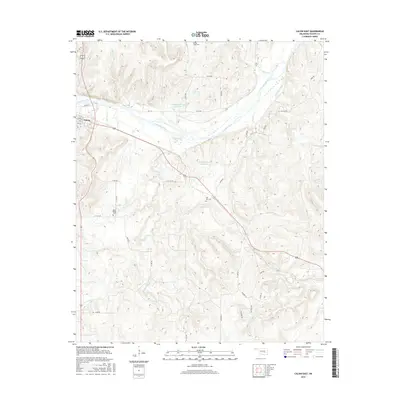
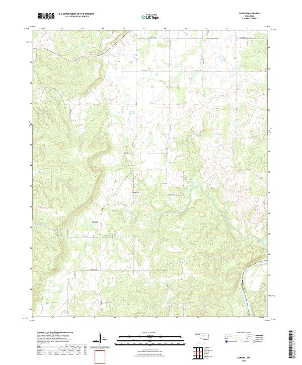
1971 Carson
Hughes County, OK
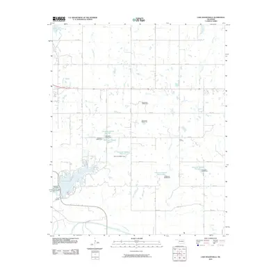
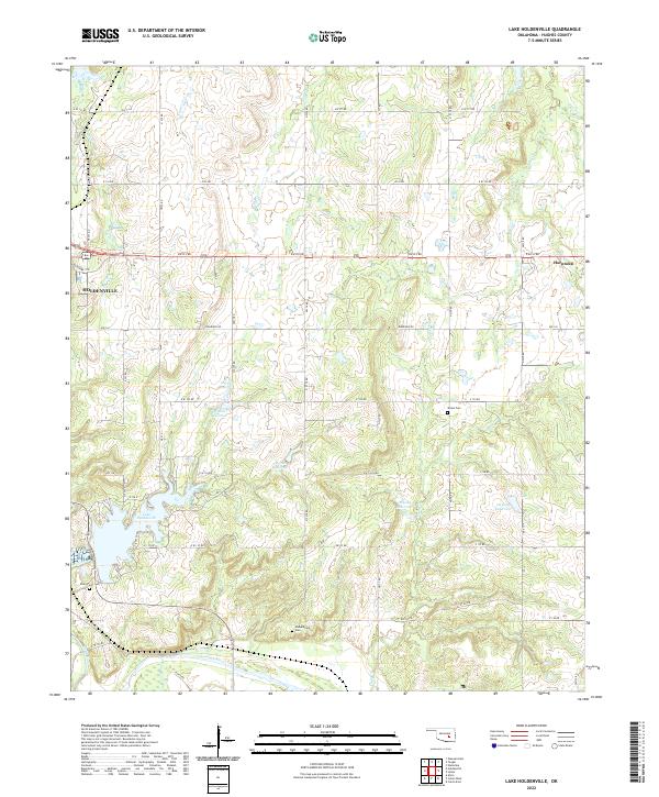
1972 Lake Holdenville
Hughes County, OK
1972 Wewoka East
Hughes County, OK
2009 Calvin West
Hughes County, OK
2010 Calvin East
Hughes County, OK
2010 Carson
Hughes County, OK
2010 Lake Holdenville
Hughes County, OK
2010 Non
Hughes County, OK
2010 Wewoka East
Hughes County, OK
2012 Calvin East
Hughes County, OK
2012 Calvin West
Hughes County, OK
2012 Carson
Hughes County, OK
2012 Lake Holdenville
Hughes County, OK
2012 Wewoka East
Hughes County, OK
2013 Non
Hughes County, OK
2016 Calvin East
Hughes County, OK
2016 Calvin West
Hughes County, OK
2016 Carson
Hughes County, OK
2016 Lake Holdenville
Hughes County, OK
2016 Non
Hughes County, OK
2016 Wewoka East
Hughes County, OK
2018 Calvin East
Hughes County, OK
2018 Calvin West
Hughes County, OK
2018 Carson
Hughes County, OK
2018 Lake Holdenville
Hughes County, OK
2018 Non
Hughes County, OK
2018 Wewoka East
Hughes County, OK
2022 Calvin East
Hughes County, OK
2022 Calvin West
Hughes County, OK
2022 Carson
Hughes County, OK
2022 Lake Holdenville
Hughes County, OK
2022 Non
Hughes County, OK
2022 Wewoka East
Hughes County, OK