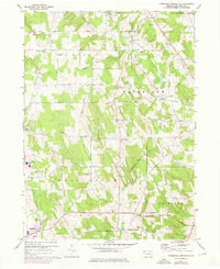
1967 Map of Cambridge Springs NE
USGS Topo · Published 1976About this map
South Hill and the surrounding plateau of Erie County define this 1967 landscape, where a dense network of country roads connects family-named crossroads and rural settlements. This period of the mid-1960s, with updates into the 1970s, captures the area during a transition from purely agricultural use to the development of modern education and infrastructure, notably marked by the presence of General McLane High Sch and a series of radio towers near the Summit boundary.
Find a feature on this map
62 named features on this map. Tap any name to fly to it.
Don’t see what you’re looking for? This feature index may not catch every label — zoom into the map to look around manually.
Map Details
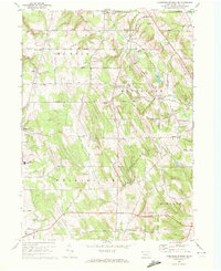
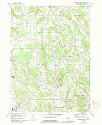
Editions of this 1967 Cambridge Springs NE Map
Other maps of this area

1899 · Erie
USGS Topo · 1:62,500

1900 · Erie
USGS Topo · 1:62,500

1913 · North East
USGS Topo · 1:62,500

1915 · North East
USGS Topo · 1:62,500

1923 · Cambridge Springs
USGS Topo · 1:62,500

1925 · Cambridge Springs
USGS Topo · 1:62,500

1929 · Union City
USGS Topo · 1:62,500

1932 · Union City
USGS Topo · 1:62,500

1943 · North East
USGS Topo · 1:62,500

1943 · Cambridge Springs
USGS Topo · 1:62,500