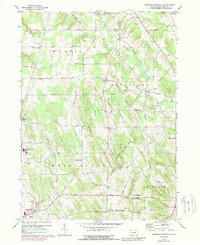
1967 Map of Cambridge Springs NE
USGS Topo · Published 1988About this map
Edinboro anchors the southwestern corner of this rural Erie County landscape, where the headwaters of Conneautee Creek and Little Conneautee Creek wind through a series of agricultural and wooded valleys. The area is defined by a dense network of country roads connecting established crossroads such as Sibleyville, Reeds Corners, and Sharps Corners. These small nodes reflect the 19th-century settlement pattern of the region, often centered around family-named intersections or local services like the Gravel Pit or Washington Valley Ch.
Find a feature on this map
64 named features on this map. Tap any name to fly to it.
Don’t see what you’re looking for? This feature index may not catch every label — zoom into the map to look around manually.
Map Details
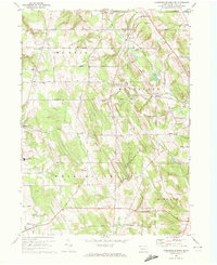
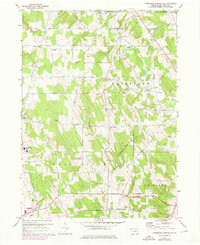
Editions of this 1967 Cambridge Springs NE Map
Other maps of this area

1899 · Erie
USGS Topo · 1:62,500

1900 · Erie
USGS Topo · 1:62,500

1913 · North East
USGS Topo · 1:62,500

1915 · North East
USGS Topo · 1:62,500

1923 · Cambridge Springs
USGS Topo · 1:62,500

1925 · Cambridge Springs
USGS Topo · 1:62,500

1929 · Union City
USGS Topo · 1:62,500

1932 · Union City
USGS Topo · 1:62,500

1943 · North East
USGS Topo · 1:62,500

1943 · Cambridge Springs
USGS Topo · 1:62,500