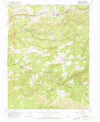
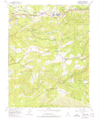
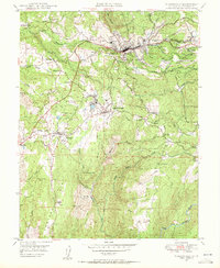
1952 Map of Camino
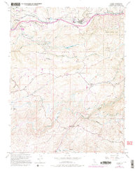
USGS Topo · Published 1973About this map
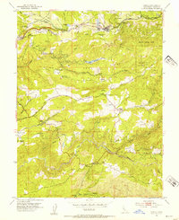
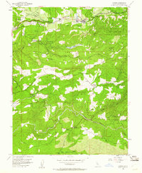
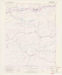
Timber and transportation networks define this part of El Dorado County, where the Camino Placerville and Lake Tahoe RR serves the industrial Lumber Mill at Camino. The landscape is a transition from agricultural settlements like Fruit and Five Mile Terrace to the forested slopes of the Eldorado National Forest. Research sites such as the Institute of Forest Genetics and landmarks like Old Fort Jim indicate a region shaped by both scientific study and gold-rush era heritage. Along the southern reaches, the North Fork Cosumnes River and Middle Fork Cosumnes River carve deep canyons through the terrain, with small clusters of activity at Somerset and Bucks Bar. Local community life is evidenced by numerous rural schools, including the Blair Dist Sch and Summit School, alongside historic landmarks like Eight Mile House situated along the early road systems.
Find a feature on this map
50 named features on this map. Tap any name to fly to it.
Don’t see what you’re looking for? This feature index may not catch every label — zoom into the map to look around manually.
Map Details
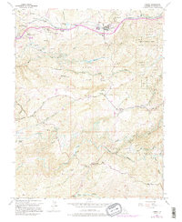
Editions of this 1952 Camino Map
8 editions found

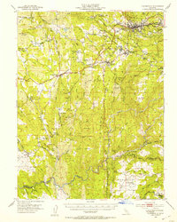
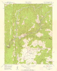
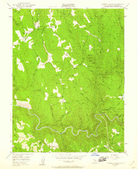
Other maps of this area

1891 · Placerville
USGS Topo · 1:125,000

1892 · Placerville
USGS Topo · 1:125,000

1893 · Placerville
USGS Topo · 1:125,000

1947 · Sacramento
USGS Topo · 1:250,000

1948 · Sacramento
USGS Topo · 1:250,000

1949 · Georgetown
USGS Topo · 1:62,500
1949 · Placerville
USGS Topo · 1:62,500
1949 · Placerville
USGS Topo · 1:24,000
1949 · Fiddletown
USGS Topo · 1:24,000
1949 · Garden Valley
USGS Topo · 1:24,000