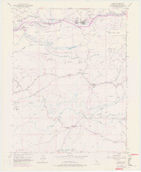
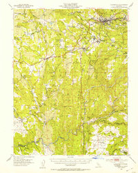
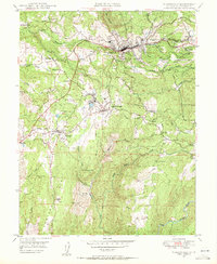
1952 Map of Camino
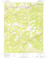
USGS Topo · Published 1977About this map
The Institute of Forest Genetics and the historic Fruit Ridge dominate the northern landscape of this El Dorado County region during the mid-20th century. The settlement of Camino serves as a central hub, linked to the broader territory by the Camino Placerville and Lake Tahoe RR and the Camino Placerville and Tahoe Road. This area is deeply tied to its resource-extraction roots, evidenced by numerous Placer Mine operations and a Sawmill scattered across the ridges.
Find a feature on this map
69 named features on this map. Tap any name to fly to it.
Don’t see what you’re looking for? This feature index may not catch every label — zoom into the map to look around manually.
Map Details
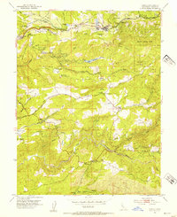
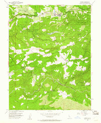
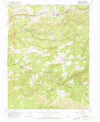
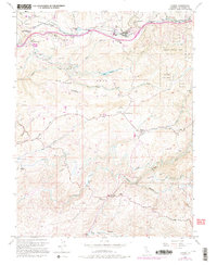
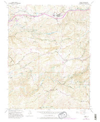
Editions of this 1952 Camino Map
8 editions found

Other maps of this area

1891 · Placerville
USGS Topo · 1:125,000

1892 · Placerville
USGS Topo · 1:125,000

1893 · Placerville
USGS Topo · 1:125,000

1947 · Sacramento
USGS Topo · 1:250,000

1948 · Sacramento
USGS Topo · 1:250,000

1949 · Georgetown
USGS Topo · 1:62,500
1949 · Placerville
USGS Topo · 1:62,500
1949 · Placerville
USGS Topo · 1:24,000
1949 · Fiddletown
USGS Topo · 1:24,000
1949 · Garden Valley
USGS Topo · 1:24,000