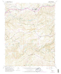
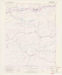
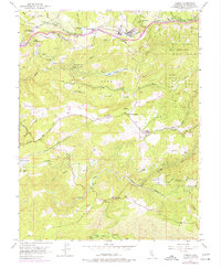
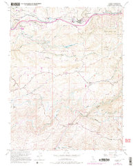
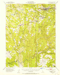
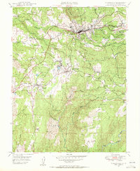
1952 Map of Camino
USGS Topo · Published 1995About this map
Fruit Ridge and the Five Mile Terrace define the northern upland industrial corridor where the timber economy of the early 1950s is anchored by a Lumber Mill near Camino. This survey captures the transition from agriculture and forestry to decentralized residential pockets like Motor City and Eldorado Ranch. Farther south, the terrain drops toward the North Fork Cosumnes River, where the historic Somerset and Bucks Bar crossings highlight the long-standing transport patterns of the foothills.
Find a feature on this map
52 named features on this map. Tap any name to fly to it.
Don’t see what you’re looking for? This feature index may not catch every label — zoom into the map to look around manually.
Map Details
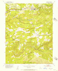
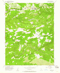
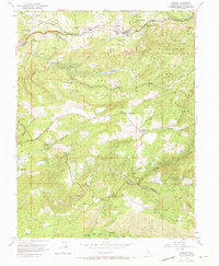
Editions of this 1952 Camino Map
8 editions found

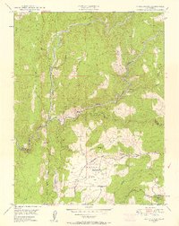
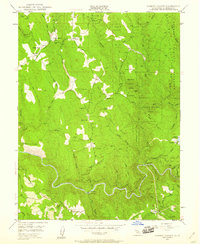
Other maps of this area

1891 · Placerville
USGS Topo · 1:125,000

1892 · Placerville
USGS Topo · 1:125,000

1893 · Placerville
USGS Topo · 1:125,000

1947 · Sacramento
USGS Topo · 1:250,000

1948 · Sacramento
USGS Topo · 1:250,000

1949 · Georgetown
USGS Topo · 1:62,500
1949 · Placerville
USGS Topo · 1:62,500
1949 · Placerville
USGS Topo · 1:24,000
1949 · Fiddletown
USGS Topo · 1:24,000
1949 · Garden Valley
USGS Topo · 1:24,000