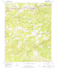
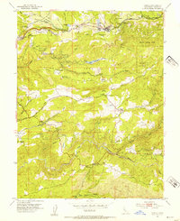
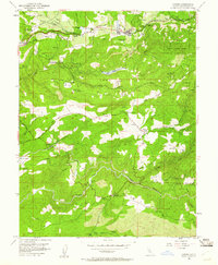
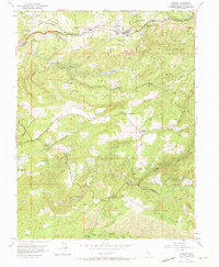
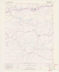
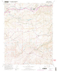
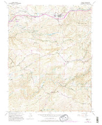
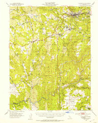
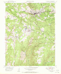
1952 Map of Camino
USGS Topo · Published 1977About this map
Camino and the surrounding El Dorado ridge-lands appear here as a complex landscape of early California timber and agricultural industry. The Placerville and Tahoe Lake Railroad winds through the northern hills, serving the Lumber Mill at Camino, while the Institute of Forest Genetics near Fruit Ridge highlights the region's importance to forestry research. Settlement patterns follow the high ground and watercourses, with small communities like Five Mile Terrace and Motor City clustered near the main transit corridors.
Find a feature on this map
54 named features on this map. Tap any name to fly to it.
Don’t see what you’re looking for? This feature index may not catch every label — zoom into the map to look around manually.
Map Details
Editions of this 1952 Camino Map
8 editions found

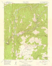
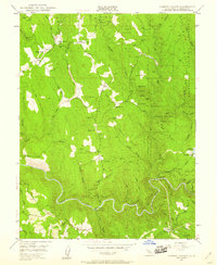
Other maps of this area

1891 · Placerville
USGS Topo · 1:125,000

1892 · Placerville
USGS Topo · 1:125,000

1893 · Placerville
USGS Topo · 1:125,000

1947 · Sacramento
USGS Topo · 1:250,000

1948 · Sacramento
USGS Topo · 1:250,000

1949 · Georgetown
USGS Topo · 1:62,500
1949 · Placerville
USGS Topo · 1:62,500
1949 · Placerville
USGS Topo · 1:24,000
1949 · Fiddletown
USGS Topo · 1:24,000
1949 · Garden Valley
USGS Topo · 1:24,000