
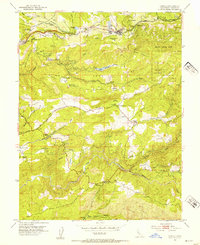
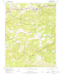
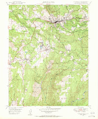
1952 Map of Camino
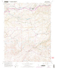
USGS Topo · Published 1995About this map
Fruit Ridge and the Camino Placerville and Lake Tahoe Railroad dominate the northern landscape of this El Dorado County territory. The logging and agricultural character of the era is evident through the central Lumber Mill in Camino, while legacy gold-country features appear further south. Historic sites such as Old Fort Jim and its accompanying Old Fort Jim Historical Marker provide specific points of interest for local historians.
Find a feature on this map
49 named features on this map. Tap any name to fly to it.
Don’t see what you’re looking for? This feature index may not catch every label — zoom into the map to look around manually.
Map Details
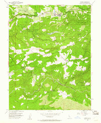
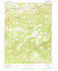
Editions of this 1952 Camino Map
8 editions found
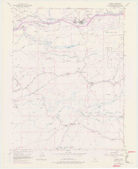
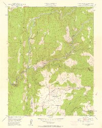
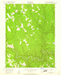
Other maps of this area

1891 · Placerville
USGS Topo · 1:125,000

1892 · Placerville
USGS Topo · 1:125,000

1893 · Placerville
USGS Topo · 1:125,000

1947 · Sacramento
USGS Topo · 1:250,000

1948 · Sacramento
USGS Topo · 1:250,000

1949 · Georgetown
USGS Topo · 1:62,500
1949 · Placerville
USGS Topo · 1:62,500
1949 · Placerville
USGS Topo · 1:24,000
1949 · Fiddletown
USGS Topo · 1:24,000
1949 · Garden Valley
USGS Topo · 1:24,000