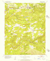
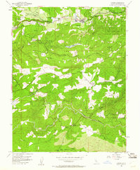
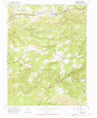
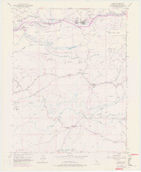
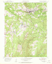
1952 Map of Camino
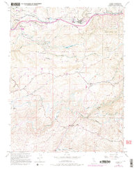
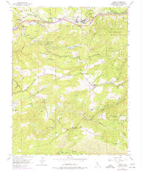
USGS Topo · Published 1995About this map
Fruit Ridge and Snow Ridge define the steep topography of this Sierra Nevada foothills region, where the timber and mining industries left a distinct mark on the mid-century landscape. The settlement of Camino serves as a central hub, anchored by the Camino Union School and a significant Lumber Mill. This area preserves the transition from early pioneer history to modern forestry research, evidenced by the presence of the Institute of Forest Genetics and the Old Fort Jim Historical Marker near the historic Placer Mine workings.
Find a feature on this map
49 named features on this map. Tap any name to fly to it.
Don’t see what you’re looking for? This feature index may not catch every label — zoom into the map to look around manually.
Map Details
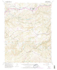
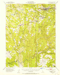
Editions of this 1952 Camino Map
8 editions found

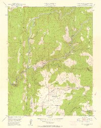
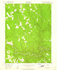
Other maps of this area

1891 · Placerville
USGS Topo · 1:125,000

1892 · Placerville
USGS Topo · 1:125,000

1893 · Placerville
USGS Topo · 1:125,000

1947 · Sacramento
USGS Topo · 1:250,000

1948 · Sacramento
USGS Topo · 1:250,000

1949 · Georgetown
USGS Topo · 1:62,500
1949 · Placerville
USGS Topo · 1:62,500
1949 · Placerville
USGS Topo · 1:24,000
1949 · Fiddletown
USGS Topo · 1:24,000
1949 · Garden Valley
USGS Topo · 1:24,000