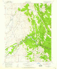
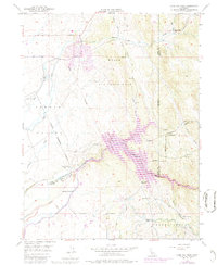
1949 Map of Camp Far West
USGS Topo · Published 1959About this map
The Bear River defines the landscape of this 1949 survey, where the border of Yuba and Placer counties meets the western edge of the Sierra Nevada foothills. Much of the northern terrain is occupied by the Camp Beale Military Reservation, a significant wartime installation that influenced the local geography during the mid-century. Further downstream, the Camp Far West Reservoir stands as a focal point for water management in the region, adjacent to the Camp Far West Historic Site.
Find a feature on this map
24 named features on this map. Tap any name to fly to it.
Don’t see what you’re looking for? This feature index may not catch every label — zoom into the map to look around manually.
Map Details
Editions of this 1949 Camp Far West Map
5 editions found
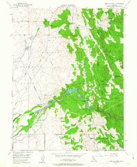
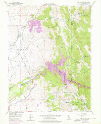
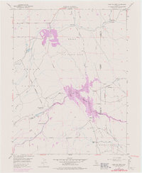
Other maps of this area

1888 · Smartsville
USGS Topo · 1:125,000

1891 · Sacramento
USGS Topo · 1:125,000

1891 · Smartsville
USGS Topo · 1:125,000

1892 · Sacramento
USGS Topo · 1:125,000

1892 · Smartsville
USGS Topo · 1:125,000

1893 · Sacramento
USGS Topo · 1:125,000

1894 · Smartsville
USGS Topo · 1:125,000

1895 · Smartsville
USGS Topo · 1:125,000

1910 · Sheridan
USGS Topo · 1:31,680

1910 · Lincoln
USGS Topo · 1:31,680