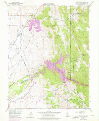
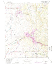
1949 Map of Camp Far West
USGS Topo · Published 1976About this map
Beale Air Force Base dominates the northern landscape of this survey, illustrating the significant military footprint in the California foothills during the post-war era. To the south, the waters of the Bear River feed into the Camp Far West Reservoir, a central feature of the region's water management system. The map documents several layers of local history, from the Camp Far West (Historic Site) and the Spenceville (Site) to the Dairy Farm Mine (Inactive), reflecting the evolution from mid-19th-century frontier outposts to industrial mining and modern infrastructure. Settlement patterns are sparse, anchored by Waldo Junc and the agricultural community of Thermalands, while the presence of the Valley View School and Lofton Cem provides essential points of reference for genealogists and local historians tracing families in Yuba and Placer counties.
Find a feature on this map
33 named features on this map. Tap any name to fly to it.
Don’t see what you’re looking for? This feature index may not catch every label — zoom into the map to look around manually.
Map Details
Editions of this 1949 Camp Far West Map
5 editions found
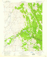
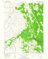
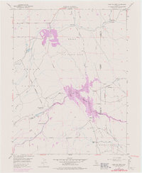
Other maps of this area

1888 · Smartsville
USGS Topo · 1:125,000

1891 · Sacramento
USGS Topo · 1:125,000

1891 · Smartsville
USGS Topo · 1:125,000

1892 · Sacramento
USGS Topo · 1:125,000

1892 · Smartsville
USGS Topo · 1:125,000

1893 · Sacramento
USGS Topo · 1:125,000

1894 · Smartsville
USGS Topo · 1:125,000

1895 · Smartsville
USGS Topo · 1:125,000

1910 · Sheridan
USGS Topo · 1:31,680

1910 · Lincoln
USGS Topo · 1:31,680