1956 Map of Camp Hayes Lake NE
USGS Topo · Published 1977About this map
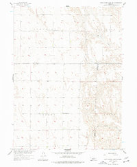
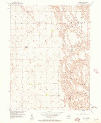
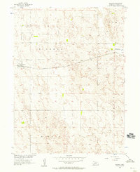
The High Plains of southwest Nebraska are captured here during the mid-1950s, documenting a landscape defined by expansive townships and the drainage of the Republican River basin. Across the northern reaches of the Somerset and Medicine districts, the land is etched by the headwaters of North Brushy Creek, while the southern portion transitions into Valley and Laird. This area reflects the rural school district system common to the era, anchored by institutions like the Ash Grove Sch and Valley Sch. These small, localized landmarks, along with the Ash Grove Cem, reveal the dispersed social fabric of a farming community that relied on these specific nodes for education and commemoration. The survey clearly delineates the convergence of three counties, showing where the borders of Lincoln, Hayes, and Frontier meet amidst the dissected terrain.
Find a feature on this map
11 named features on this map. Tap any name to fly to it.
Don’t see what you’re looking for? This feature index may not catch every label — zoom into the map to look around manually.
Map Details
Editions of this 1956 Camp Hayes Lake NE Map
2 editions found
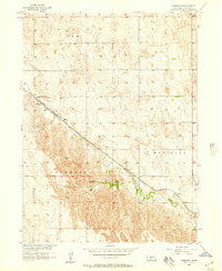
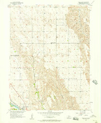
Other maps of this area

1954 · McCook
USGS Topo · 1:250,000
1956 · White NE
USGS Topo · 1:24,000
1956 · Curtis SW
USGS Topo · 1:24,000
1956 · Curtis NW
USGS Topo · 1:24,000
1956 · Dickens
USGS Topo · 1:24,000
1956 · Somerset
USGS Topo · 1:24,000
1956 · Wellfleet
USGS Topo · 1:24,000

1957 · McCook
USGS Topo · 1:250,000

1958 · McCook
USGS Topo · 1:250,000
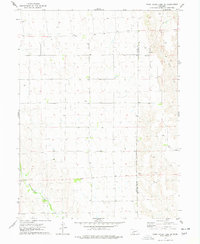
1973 · Camp Hayes Lake SE
USGS Topo · 1:24,000