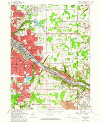
1963 Map of Campbell
USGS Topo · Published 1964About this map
The industrial corridor of the Mahoning River dominates this 1963 survey, where the heavy rail infrastructure of the Pennsylvania, Baltimore and Ohio, and Pittsburgh and Lake Erie railroads defines the landscape. The steel-producing cities of Campbell and Struthers are shown in their mid-century prime, dense with neighborhood schools like Memorial High Sch and St Nicholas Sch. This era captures the transition from urban centers to suburban expansion, evidenced by the presence of the Lincoln Knolls Plaza Shopping Center and Struthers Plaza Shopping Center.
Find a feature on this map
76 named features on this map. Tap any name to fly to it.
Don’t see what you’re looking for? This feature index may not catch every label — zoom into the map to look around manually.
Map Details
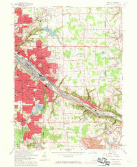
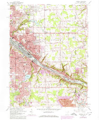
Editions of this 1963 Campbell Map
3 editions found
Other maps of this area

1902 · New Castle
USGS Topo · 1:62,500

1904 · Newcastle
USGS Topo · 1:62,500

1905 · Neshannock
USGS Topo · 1:62,500

1906 · Youngstown
USGS Topo · 1:62,500

1907 · Neshannock
USGS Topo · 1:62,500

1907 · Columbiana
USGS Topo · 1:62,500

1908 · Youngstown
USGS Topo · 1:62,500

1909 · Columbiana
USGS Topo · 1:62,500

1950 · Cleveland
USGS Topo · 1:250,000

1951 · Canton
USGS Topo · 1:250,000