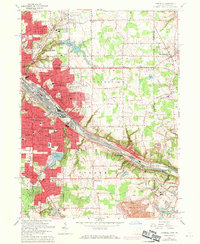
1963 Map of Campbell
USGS Topo · Published 1971About this map
Industrial corridors and suburban expansion define this landscape along the Mahoning River, where the steel-driven infrastructure of Campbell and Struthers meets the residential growth of the early 1960s. The heavy rail presence of the Penn Central and the Pittsburgh and Lake Erie railroads follows the river valley, supporting the massive industrial works that anchored the regional economy. Beyond the urban core, the map reveals a diverse community fabric, from the established grounds of Villa Maria to the leisure spaces of the Poland Polo Field. Genealogy researchers will find numerous legacy landmarks, including Jackson Cem and St Johns Cem, alongside a dense network of local schools like Memorial High Sch and Penhale Sch. The southern portion shifts toward the extractive landscape of a Quarry and Strip Mine, illustrating the transition from the built-up river towns to more open terrain.
Find a feature on this map
75 named features on this map. Tap any name to fly to it.
Don’t see what you’re looking for? This feature index may not catch every label — zoom into the map to look around manually.
Map Details
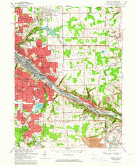
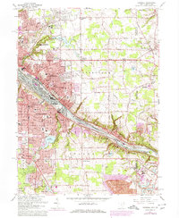
Editions of this 1963 Campbell Map
3 editions found
Other maps of this area

1902 · New Castle
USGS Topo · 1:62,500

1904 · Newcastle
USGS Topo · 1:62,500

1905 · Neshannock
USGS Topo · 1:62,500

1906 · Youngstown
USGS Topo · 1:62,500

1907 · Neshannock
USGS Topo · 1:62,500

1907 · Columbiana
USGS Topo · 1:62,500

1908 · Youngstown
USGS Topo · 1:62,500

1909 · Columbiana
USGS Topo · 1:62,500

1950 · Cleveland
USGS Topo · 1:250,000

1951 · Canton
USGS Topo · 1:250,000