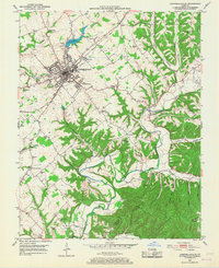
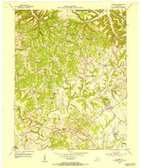
1953 Map of Campbellsville
USGS Topo · Published 1968About this map
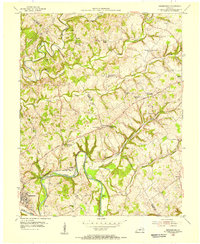
Campbellsville serves as the focal point of this mid-century survey, showing the city's residential and industrial footprint before its later expansion. The Louisville and Nashville railroad bisects the landscape, connecting the urban core to rural communities like Arista and Elk Horn. Educational and religious life is documented through numerous small institutions such as Taylor Co Sch, Durham Sch, and Reed Chapel.
Find a feature on this map
59 named features on this map. Tap any name to fly to it.
Don’t see what you’re looking for? This feature index may not catch every label — zoom into the map to look around manually.
Map Details
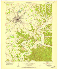
Editions of this 1953 Campbellsville Map
2 editions found
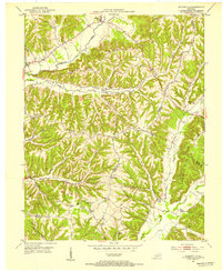
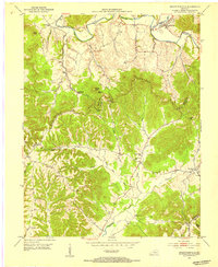
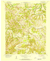
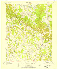
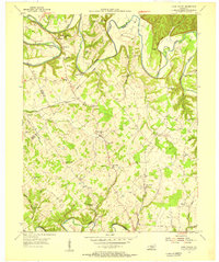
Other maps of this area
1952 · Mannsville
USGS Topo · 1:24,000
1952 · Bradfordsville
USGS Topo · 1:24,000
1953 · Campbellsville
USGS Topo · 1:24,000
1953 · Saloma
USGS Topo · 1:24,000
1953 · Gresham
USGS Topo · 1:24,000
1953 · Spurlington
USGS Topo · 1:24,000
1953 · Cane Valley
USGS Topo · 1:24,000
1953 · Bradfordsville
USGS Topo · 1:24,000
1954 · Knifley
USGS Topo · 1:24,000
1954 · Greensburg
USGS Topo · 1:24,000