
1948 Map of Campo Bonito
USGS Topo · Published 1961About this map
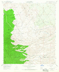
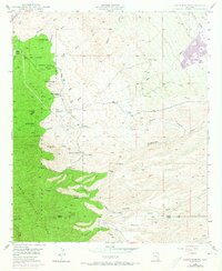
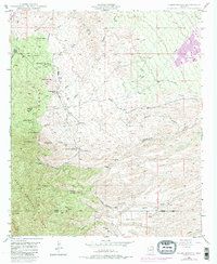
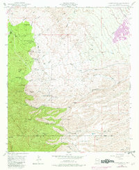
Mining operations and cattle ranching dominate this high-altitude landscape along the eastern slopes of the Santa Catalina Mts. In the late 1940s, the area around Campo Bonito served as a hub for extraction, with the Southern Belle Mine, Old Maudina Mine, and Bonito Mine marking the hillsides. A Smelter located at the confluence of several washes suggests a significant industrial footprint for processing ore before transport out of the rugged terrain.
Find a feature on this map
37 named features on this map. Tap any name to fly to it.
Don’t see what you’re looking for? This feature index may not catch every label — zoom into the map to look around manually.
Map Details
Editions of this 1948 Campo Bonito Map
5 editions found
Other maps of this area

1904 · Tucson
USGS Topo · 1:125,000

1905 · Tucson
USGS Topo · 1:125,000

1911 · Winkelman
USGS Topo · 1:125,000

1913 · Winkelman
USGS Topo · 1:125,000

1948 · Clark Ranch
USGS Topo · 1:24,000

1948 · Mammoth
USGS Topo · 1:62,500

1948 · Mammoth
USGS Topo · 1:24,000

1948 · Peppersauce Wash
USGS Topo · 1:24,000

1949 · Clark Ranch
USGS Topo · 1:24,000

1949 · Mammoth
USGS Topo · 1:24,000