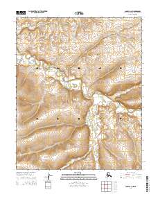
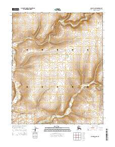
2014 Map of Candle C-2 NW
USGS Topo · Published 2014About this map
The Middle Fork Buckland River and the S Fork Buckland River dominate this interior landscape within the Northwest Arctic Borough. The drainage patterns of the region are further defined by the winding course of Kalusuk Cr and its tributary, Little Kalusuk Cr, which carve through the terrain as part of the broader Buckland River system. This 2014 survey documents a roadless expanse of the Alaskan subarctic, where the lack of human infrastructure or named settlements highlights the topographic isolation of the Seward Peninsula's hinterlands. The map serves as a primary record of the hydrological network that sustains the local ecosystem, providing precise positioning for river bends and stream junctions essential for navigation in this remote environment.
Find a feature on this map
8 named features on this map. Tap any name to fly to it.
Don’t see what you’re looking for? This feature index may not catch every label — zoom into the map to look around manually.
Map Details
Editions of this 2014 Candle C-2 NW Map
This is the sole edition of this map. No revisions or reprints were ever made.
Other maps of this area

1951 · Candle
USGS Topo · 1:250,000

1954 · Candle C-2
USGS Topo · 1:63,360

1954 · Candle D-2
USGS Topo · 1:63,360

1955 · Candle
USGS Topo · 1:250,000

1955 · Candle C-3
USGS Topo · 1:63,360
1955 · Candle D-3
USGS Topo · 1:63,360

1964 · Candle
USGS Topo · 1:250,000
2014 · Candle C-3 NE
USGS Topo · 1:25,000
2014 · Candle C-3 SE
USGS Topo · 1:25,000
2014 · Candle D-2 SW
USGS Topo · 1:25,000