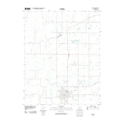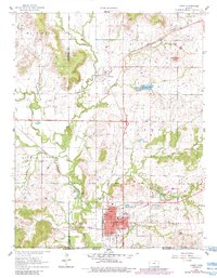
1961 Map of Caney
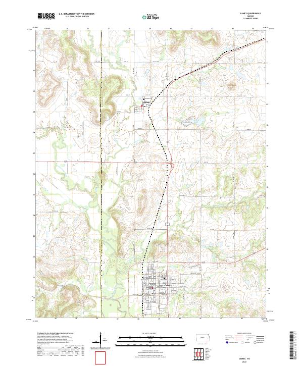
USGS Topo · Published 1984About this map
Caney and Havana anchor this portion of Montgomery County, where the plains give way to the wooded breaks of the Little Caney River valley. The map documents a convergence of transportation and land history, most notably the Old Indian Treaty Boundary that cuts diagonally across the southern half of the quadrangle. In the mid-20th century, the local economy appears rooted in a mix of agriculture and industry, evidenced by the numerous oil wells scattered across the terrain and specialized sites like the Shale Pit and Quarry. Significant infrastructure includes the dual presence of the Atchison Topeka and Santa Fe and the Missouri Pacific railroads, which served as vital corridors for the region. Cultural markers such as the Sunny Side Cem, High Sch, and even a Drive-in Theater southeast of Caney reflect the community’s social fabric during this era.
Find a feature on this map
34 named features on this map. Tap any name to fly to it.
Don’t see what you’re looking for? This feature index may not catch every label — zoom into the map to look around manually.
Map Details
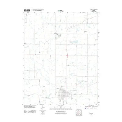
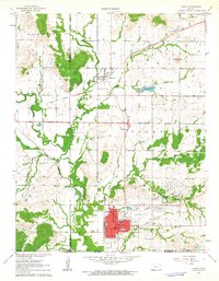
Editions of this 1961 Caney Map
3 editions found
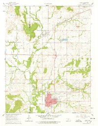
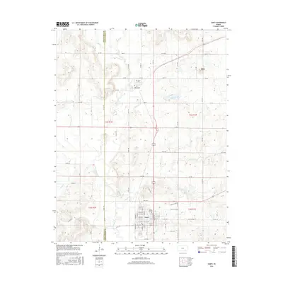
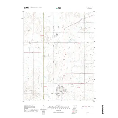
Historical Maps of Caney Through Time
6 maps found