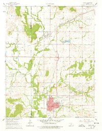
1961 Map of Caney
USGS Topo · Published 1978About this map
Caney serves as the primary hub of activity in this southern Montgomery County landscape, situated where the Atchison Topeka and Santa Fe railroad corridor intersects the local road network. The town's mid-century infrastructure is remarkably detailed, including the High Sch, a Hospital, and the nearby Sunny Side Cem. A notable historical artifact, the Old Indian Treaty Boundary, cuts across the terrain just south of Caney Creek, marking a significant cartographic remnant of earlier land divisions. To the north, the smaller settlement of Havana sits near Havana Lake and an Old Railroad Grade, while the industrial character of the era is evidenced by a Tank Farm (Abandoned) and various extraction sites like a Shale Pit and Quarry. The drainage of the Little Caney River and its many tributaries, such as Bee Creek and Coon Creek, defines the agricultural and topographical layout of the quadrangle.
Find a feature on this map
33 named features on this map. Tap any name to fly to it.
Don’t see what you’re looking for? This feature index may not catch every label — zoom into the map to look around manually.
Map Details
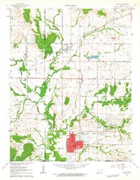
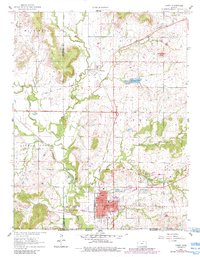
Editions of this 1961 Caney Map
3 editions found
Other maps of this area

1885 · Sedan
USGS Topo · 1:125,000

1886 · Independence
USGS Topo · 1:125,000

1889 · Sedan
USGS Topo · 1:125,000

1894 · Independence
USGS Topo · 1:125,000

1901 · Nowata
USGS Topo · 1:125,000

1905 · Independence
USGS Topo · 1:125,000

1909 · Pawhuska
USGS Topo · 1:125,000

1910 · Pawhuska
USGS Topo · 1:125,000

1914 · Nowata
USGS Topo · 1:125,000

1947 · Joplin
USGS Topo · 1:250,000