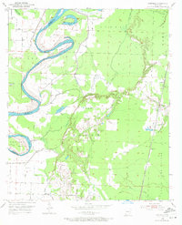
1952 Map of Canfield
USGS Topo · Published 1972About this map
The Red River creates a dynamic western boundary for Lafayette County in this early 1950s survey, defined by dramatic oxbows and meanders like Dillard Bend and Dixon Bend. These sharp river curves created isolated land pockets known simply as Cut Off, while levees were established to manage the flood-prone bottomlands. To the east, the topography shifts into the Steel Hills and the Roane area, providing a more stable elevation for local infrastructure and community life.
Find a feature on this map
25 named features on this map. Tap any name to fly to it.
Don’t see what you’re looking for? This feature index may not catch every label — zoom into the map to look around manually.
Map Details
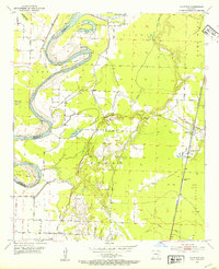
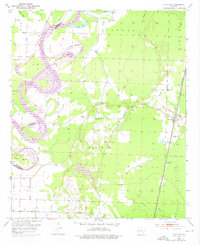
Editions of this 1952 Canfield Map
4 editions found
Other maps of this area

1952 · Doddridge SE
USGS Topo · 1:24,000

1952 · Bradley
USGS Topo · 1:24,000

1952 · Garland
USGS Topo · 1:24,000

1952 · Fouke SE
USGS Topo · 1:24,000

1952 · Bradley NE
USGS Topo · 1:24,000

1952 · Doddridge NE
USGS Topo · 1:24,000

1952 · Canfield
USGS Topo · 1:24,000

1952 · Lewisville
USGS Topo · 1:24,000

1952 · Bradley SE
USGS Topo · 1:24,000

1953 · El Dorado
USGS Topo · 1:250,000