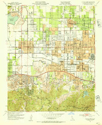
1952 Map of Canoga Park
USGS Topo · Published 1954About this map
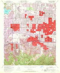
Chalk Hills and the northern slopes of the Santa Monica Mountains define the southern landscape of this mid-century San Fernando Valley study. The area is caught in a moment of rapid suburban transformation, where agricultural legacies like the C W Pierce School of Agr and the RKO Ranch persist alongside a blossoming grid of neighborhood schools such as Stagg St Sch and Anatola Ave Sch. To the west, the Chatsworth Reservoir anchors the terrain, while the Los Angeles River winds through the valley floor near the Birmingham General Hospital.
Find a feature on this map
78 named features on this map. Tap any name to fly to it.
Don’t see what you’re looking for? This feature index may not catch every label — zoom into the map to look around manually.
Map Details
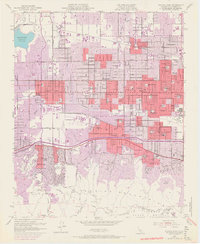
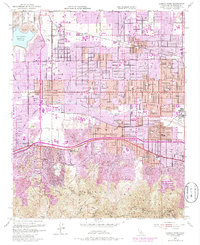
Editions of this 1952 Canoga Park Map
7 editions found
Other maps of this area

1894 · Los Angeles
USGS Topo · 1:62,500

1896 · Santa Monica
USGS Topo · 1:62,500

1898 · Santa Monica
USGS Topo · 1:62,500

1900 · Los Angeles
USGS Topo · 1:62,500

1900 · Fernando
USGS Topo · 1:62,500

1901 · Southern California Sheet No. 1
USGS Topo · 1:250,000

1902 · Santa Monica
USGS Topo · 1:62,500

1903 · Calabasas
USGS Topo · 1:62,500

1903 · Camulos
USGS Topo · 1:125,000

1903 · Santa Susana
USGS Topo · 1:62,500