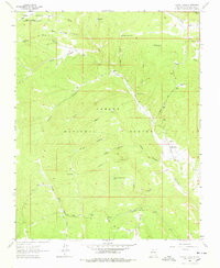
1963 Map of Canon Plaza
USGS Topo · Published 1978About this map
Cañon Plaza serves as the primary hub of this high-elevation landscape within the Carson National Forest. The 1963 survey captures a region defined by its complex drainage network, where the Rio Vallecitos and Alamosa Creek carve through numerous canyons. The presence of a local Cem. and the Jaramillo Ranch provides tangible links for genealogists tracing families in this part of Rio Arriba County. Human activity is largely centered on water management and recreation, evidenced by numerous stock tanks like La Jara Canyon Tank and Burro Tank, alongside the El Ritito Campground. The topography is marked by significant names reflecting the Hispanic heritage of northern New Mexico, including Cañon de los Posos and Valle de los Caballos. Trace old paths through the woods via the Valle Grande Trail, which cuts across the southern portion of the quadrangle.
Find a feature on this map
38 named features on this map. Tap any name to fly to it.
Don’t see what you’re looking for? This feature index may not catch every label — zoom into the map to look around manually.
Map Details
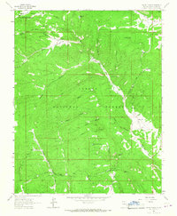
Editions of this 1963 Canon Plaza Map
2 editions found
Other maps of this area

1918 · Abiquiu
USGS Topo · 1:125,000

1918 · Tusas
USGS Topo · 1:125,000

1953 · Valle Grande Peak
USGS Topo · 1:24,000

1953 · Magote Peak
USGS Topo · 1:24,000

1953 · La Madera
USGS Topo · 1:24,000

1954 · Aztec
USGS Topo · 1:250,000

1955 · Cebolla
USGS Topo · 1:62,500

1958 · Aztec
USGS Topo · 1:250,000

1962 · Aztec
USGS Topo · 1:250,000
1963 · Las Tablas
USGS Topo · 1:24,000