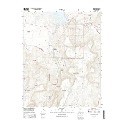
2013 Map of Canones
USGS Topo · Published 2013About this map
Cañones sits at the base of Cañones Mesa in a landscape defined by dramatic sandstone plateaus and deep drainage canyons. This 2013 survey of Rio Arriba County shows the village and its nearby Po and San Miguel Cem situated along Cañones Cr, which flows north toward the Abiquiu Reservoir. The area is characterized by a network of ranching and remote settlements, including Lower Cañones and the Salazar Ranch, emphasizing the rural continuity of the region.
Find a feature on this map
51 named features on this map. Tap any name to fly to it.
Don’t see what you’re looking for? This feature index may not catch every label — zoom into the map to look around manually.
Map Details
Editions of this 2013 Canones Map
This is the sole edition of this map. No revisions or reprints were ever made.
Other maps of this area

1909 · Gallina
USGS Topo · 1:125,000

1918 · Abiquiu
USGS Topo · 1:125,000

1953 · Canones
USGS Topo · 1:24,000

1953 · Cerro Del Grant
USGS Topo · 1:24,000

1953 · Abiquiu
USGS Topo · 1:24,000

1953 · Vallecitos
USGS Topo · 1:24,000

1953 · Polvadera Peak
USGS Topo · 1:24,000

1953 · Echo Ampitheater
USGS Topo · 1:24,000

1953 · Canjilon SE
USGS Topo · 1:24,000

1953 · Youngsville
USGS Topo · 1:24,000