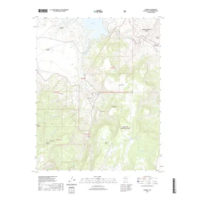
2020 Map of Canones
USGS Topo · Published 2020About this map
Cañones sits within a high-elevation landscape defined by significant topographic relief and the boundaries of the Santa Fe National Forest and Carson National Forest. This 2020 map documents the modern footprint of this village in Rio Arriba County, where the settlement is situated below the rising slopes of Pueblo Mesa and Polvadera Mesa. The northern reaches of the quadrangle include a portion of the Abiquiu Reservoir and the winding course of the Rio Chama, highlighting the critical water sources that have supported habitation in this arid region for generations. The map reveals a complex terrain of mesas and canyons, including Temolime Canyon and Red Wash Canyon, which dictate the placement of local connectors and forest service roads that link this remote northern New Mexico community to the surrounding wilderness.
Find a feature on this map
1 named feature on this map. Tap any name to fly to it.
Don’t see what you’re looking for? This feature index may not catch every label — zoom into the map to look around manually.
Map Details
Editions of this 2020 Canones Map
This is the sole edition of this map. No revisions or reprints were ever made.
Other maps of this area
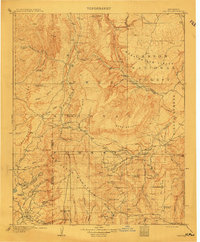
1909 · Gallina
USGS Topo · 1:125,000
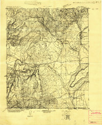
1918 · Abiquiu
USGS Topo · 1:125,000
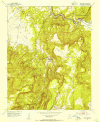
1953 · Canones
USGS Topo · 1:24,000
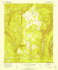
1953 · Cerro Del Grant
USGS Topo · 1:24,000
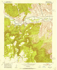
1953 · Abiquiu
USGS Topo · 1:24,000
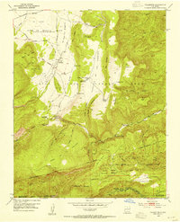
1953 · Vallecitos
USGS Topo · 1:24,000
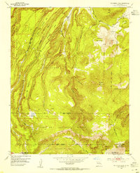
1953 · Polvadera Peak
USGS Topo · 1:24,000
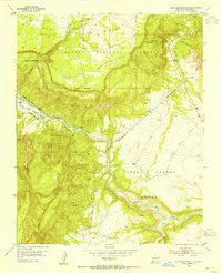
1953 · Echo Ampitheater
USGS Topo · 1:24,000
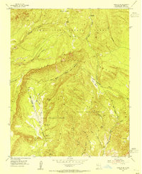
1953 · Canjilon SE
USGS Topo · 1:24,000
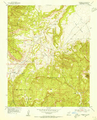
1953 · Youngsville
USGS Topo · 1:24,000