
1950 Map of Canton
USGS Topo · Published 1967About this map
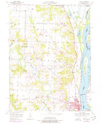
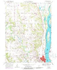
Culver-Stockton College anchors the riverfront town of Canton in this mid-century survey, illustrating the critical intersection of education, industry, and river transport in Lewis County. The Mississippi River dominates the eastern edge, its channel defined by numerous islands like Tully Island and Huff Island, while the Chicago Burlington and Quincy railroad tracks parallel the bank to facilitate regional trade.
Find a feature on this map
45 named features on this map. Tap any name to fly to it.
Don’t see what you’re looking for? This feature index may not catch every label — zoom into the map to look around manually.
Map Details
Editions of this 1950 Canton Map
3 editions found
Other maps of this area

1903 · Kahoka
USGS Topo · 1:125,000

1936 · Keokuk
USGS Topo · 1:62,500

1946 · Mendon
USGS Topo · 1:62,500

1948 · Mendon
USGS Topo · 1:62,500

1949 · Kahoka SE
USGS Topo · 1:24,000

1949 · St. Patrick
USGS Topo · 1:24,000

1950 · Saint Patrick
USGS Topo · 1:24,000

1950 · Kahoka SE
USGS Topo · 1:24,000

1950 · Keokuk
USGS Topo · 1:62,500

1950 · La Grange
USGS Topo · 1:24,000