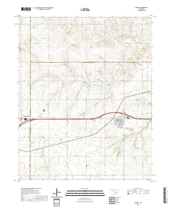
2022 Map of Canute
USGS Topo · Published 2022About this map
Canute serves as a central hub in this western Oklahoma landscape, situated at the intersection of modern infrastructure and the path of Old US Hwy 66. The street grid of the town is detailed with residential and commercial thoroughfares including Scheidel Ave, Broadway, and Edgewood. To the west, the eastern edge of Elk City enters the frame, marking a point of regional growth near the Beckham Co line. The area is defined by a series of north-south and east-west section line roads that organize the agricultural terrain, interspersed with local burial sites like Edwardsville Cem and Hebron Cem. Water management is prominent through features such as the Soldier Cr Watershed Site 3 Reservoir and drainage systems feeding Turkey Cr and Oak Creek. This map documents a region where historic transportation routes continue to shape the development of prairie communities.
Find a feature on this map
43 named features on this map. Tap any name to fly to it.
Don’t see what you’re looking for? This feature index may not catch every label — zoom into the map to look around manually.
Map Details
Editions of this 2022 Canute Map
This is the sole edition of this map. No revisions or reprints were ever made.
Other maps of this area

1955 · Clinton
USGS Topo · 1:250,000

1957 · Clinton
USGS Topo · 1:250,000

1957 · Butler
USGS Topo · 1:62,500

1957 · Dill City
USGS Topo · 1:62,500

1960 · Hammon
USGS Topo · 1:62,500

1961 · Elk City
USGS Topo · 1:62,500

1976 · Butler SW
USGS Topo · 1:24,000

1976 · Dill City NE
USGS Topo · 1:24,000
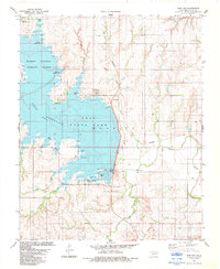
1983 · Foss Dam
USGS Topo · 1:24,000
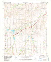
1983 · Foss
USGS Topo · 1:24,000