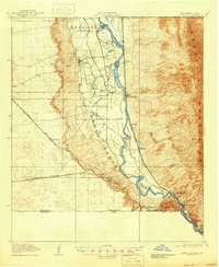
1919 Map of Canutillo
USGS Topo · Published 1946About this map
The Rio Grande serves as the focal point of this 1917 survey, defining a complex borderland where Texas, New Mexico, and Chihuahua meet. The landscape is characterized by the stark contrast between the river valley's agricultural developments and the rising heights of the Franklin Mountains to the east and Santa Teresa to the west. Industrial activity is concentrated near the southern bend of the river at the Smelter and the Cement Plant Reservoir, while education is represented by the State School of Mines and La Vista School.
Find a feature on this map
30 named features on this map. Tap any name to fly to it.
Don’t see what you’re looking for? This feature index may not catch every label — zoom into the map to look around manually.
Map Details
Editions of this 1919 Canutillo Map
3 editions found
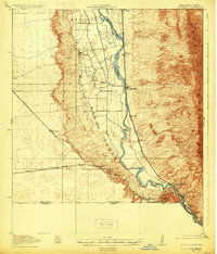
Other maps of this area

1891 · Las Cruces
USGS Topo · 1:125,000

1893 · Las Cruces
USGS Topo · 1:125,000

1896 · El Paso
USGS Topo · 1:125,000

1908 · El Paso
USGS Topo · 1:125,000

1917 · Canutillo
USGS Topo · 1:62,500

1917 · Noria
USGS Topo · 1:62,500

1918 · Noria
USGS Topo · 1:62,500

1919 · Canutillo
USGS Topo · 1:62,500

1939 · Ysleta
USGS Topo · 1:62,500

1940 · Newman
USGS Topo · 1:62,500