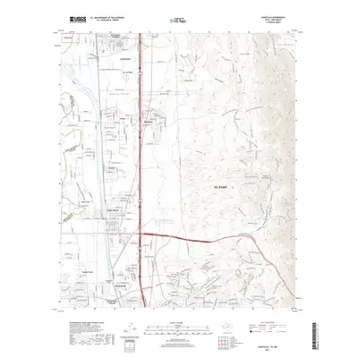
2019 Map of Canutillo
USGS Topo · Published 2019About this map
The Rio Grande corridor northwest of El Paso defines this landscape, where the fertile Mesilla Valley meets the rising slopes of the Franklin Mountains. Irrigation and water management are central to the region's development, evidenced by an extensive network of ditches and drains including the Vinton Drain, Anthony Drain, and Three Saints Lateral. This 2019 survey documents a complex borderland geography where Anthony and Canutillo serve as primary hubs, surrounded by smaller residential clusters like R W Jones Colonia and Green Acres Colonia.
Find a feature on this map
70 named features on this map. Tap any name to fly to it.
Don’t see what you’re looking for? This feature index may not catch every label — zoom into the map to look around manually.
Map Details
Editions of this 2019 Canutillo Map
This is the sole edition of this map. No revisions or reprints were ever made.
Other maps of this area

1891 · Las Cruces
USGS Topo · 1:125,000

1893 · Las Cruces
USGS Topo · 1:125,000

1896 · El Paso
USGS Topo · 1:125,000

1908 · El Paso
USGS Topo · 1:125,000

1917 · Canutillo
USGS Topo · 1:62,500

1919 · Canutillo
USGS Topo · 1:62,500

1940 · Newman
USGS Topo · 1:62,500

1941 · El Paso
USGS Topo · 1:31,680

1942 · Fort Bliss
USGS Topo · 1:62,500

1943 · La Mesa
USGS Topo · 1:62,500