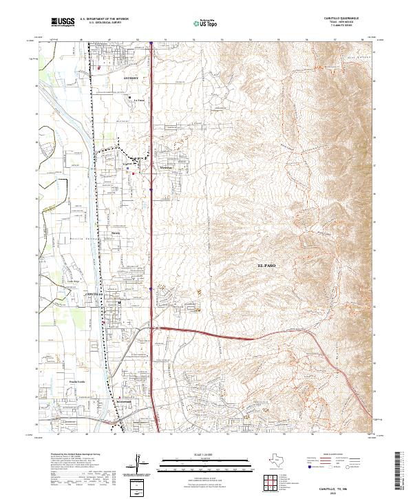
2022 Map of Canutillo
USGS Topo · Published 2022About this map
Mesilla Valley land use is clearly defined in this study, where the fertile lowlands along the Rio Grande meet the rising slopes of the Franklin Mountains. The corridor is dominated by a string of border communities including Anthony, Canutillo, and Vinton, linked by the heavy transport lines of S Dessert Blvd and Doniphan Dr. This area serves as a critical junction of infrastructure and institutions, notably featuring the La Tuna Fed Correctional Institute and the El Paso Community College Northwest Campus.
Find a feature on this map
64 named features on this map. Tap any name to fly to it.
Don’t see what you’re looking for? This feature index may not catch every label — zoom into the map to look around manually.
Map Details
Editions of this 2022 Canutillo Map
This is the sole edition of this map. No revisions or reprints were ever made.
Other maps of this area

1891 · Las Cruces
USGS Topo · 1:125,000

1893 · Las Cruces
USGS Topo · 1:125,000

1896 · El Paso
USGS Topo · 1:125,000

1908 · El Paso
USGS Topo · 1:125,000

1917 · Canutillo
USGS Topo · 1:62,500

1919 · Canutillo
USGS Topo · 1:62,500

1940 · Newman
USGS Topo · 1:62,500

1941 · El Paso
USGS Topo · 1:31,680

1942 · Fort Bliss
USGS Topo · 1:62,500

1943 · La Mesa
USGS Topo · 1:62,500