
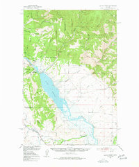
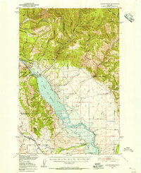
1950 Map of Canyon Ferry
USGS Topo · Published 1952About this map
Hedges Mountain and the Big Belt Mountains dominate this 1950s landscape, a rugged terrain where mining history and water management intersect. The map documents a significant era of transformation for the Missouri River as the New Canyon Ferry Dam project reshaped the valley, creating Canyon Ferry Lake and Sewell Lake. These man-made reservoirs submerged older landmarks, while the labels for Old Canyon Ferry and Cemetery Hill provide a geographic link to the area's pre-inundation topography.
Find a feature on this map
45 named features on this map. Tap any name to fly to it.
Don’t see what you’re looking for? This feature index may not catch every label — zoom into the map to look around manually.
Map Details
Editions of this 1950 Canyon Ferry Map
3 editions found
Other maps of this area

1886 · Fort Logan
USGS Topo · 1:250,000

1948 · White Sulphur Springs
USGS Topo · 1:250,000

1950 · Townsend
USGS Topo · 1:62,500

1950 · Duck Creek Pass
USGS Topo · 1:62,500

1950 · East Helena
USGS Topo · 1:62,500

1950 · Clancy
USGS Topo · 1:62,500

1958 · White Sulphur Springs
USGS Topo · 1:250,000

1961 · White Sulphur Springs
USGS Topo · 1:250,000

1962 · Hogback Mountain
USGS Topo · 1:24,000
1962 · Nelson
USGS Topo · 1:24,000