
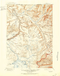
1911 Map of Canyon
USGS Topo · Published 1911About this map
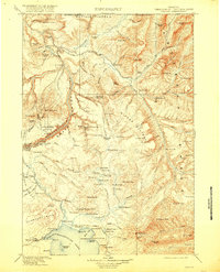
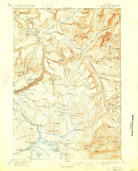
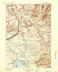
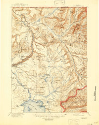
The Lamar River and the Grand Canyon of the Yellowstone River define this high-altitude landscape during a period of early twentieth-century park development. The map details an era when backcountry outposts and early tourist accommodations were the primary human imprints on the wilderness. Key lodging points such as the Canyon Hotel and Lake Hotel are visible, alongside smaller historic sites like Yanceys and the Buffalo Farm. The intricate drainage system includes Soda Butte Creek and Pelican Creek, feeding into the northern reaches of Yellowstone Lake.
Find a feature on this map
138 named features on this map. Tap any name to fly to it.
Don’t see what you’re looking for? This feature index may not catch every label — zoom into the map to look around manually.
Map Details
Editions of this 1911 Canyon Map
6 editions found
Other maps of this area

1885 · Lake
USGS Topo · 1:125,000

1885 · Gallatin
USGS Topo · 1:125,000

1885 · Gallatin
USGS Topo · 1:125,000

1886 · Shoshone
USGS Topo · 1:125,000

1886 · Canyon
USGS Topo · 1:125,000

1888 · Shoshone
USGS Topo · 1:125,000

1891 · Livingston
USGS Topo · 1:250,000

1893 · Livingston
USGS Topo · 1:250,000

1893 · Ishawooa
USGS Topo · 1:125,000

1895 · Shoshone
USGS Topo · 1:125,000