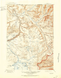
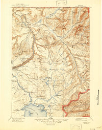
1911 Map of Canyon
USGS Topo · Published 1951About this map
The Lamar River and Yellowstone River converge in this high-altitude survey, which documents the early twentieth-century infrastructure of Yellowstone National Park before the massive expansion of the modern road system. The map captures a transitional era for tourism, showing established hospitality landmarks such as Canyon Hotel and Lake Hotel alongside more rustic outposts like Roosevelt Lodge and the remote Hay Ranch and Snowshoe Cabin.
Find a feature on this map
147 named features on this map. Tap any name to fly to it.
Don’t see what you’re looking for? This feature index may not catch every label — zoom into the map to look around manually.
Map Details
Editions of this 1911 Canyon Map
6 editions found

Other maps of this area

1885 · Lake
USGS Topo · 1:125,000

1885 · Gallatin
USGS Topo · 1:125,000

1885 · Gallatin
USGS Topo · 1:125,000

1886 · Shoshone
USGS Topo · 1:125,000

1886 · Canyon
USGS Topo · 1:125,000

1888 · Shoshone
USGS Topo · 1:125,000

1891 · Livingston
USGS Topo · 1:250,000

1893 · Livingston
USGS Topo · 1:250,000

1893 · Ishawooa
USGS Topo · 1:125,000

1895 · Shoshone
USGS Topo · 1:125,000