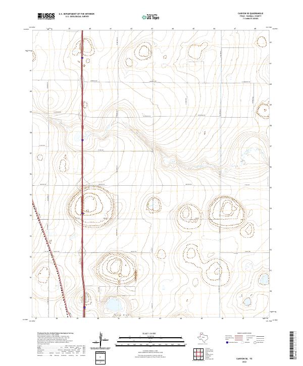
2022 Map of Canyon SE
USGS Topo · Published 2022About this map
S Cita Cr meanders across this section of the Texas Panhandle, carving a distinct path through the High Plains landscape of Randall County. The drainage patterns, including the intermittent flow of Happy Draw, define the local topography south of Canyon. The map reveals a strictly regulated grid of section roads and farm-to-market routes that reflect the enduring agricultural and ranching layout of the region.
Find a feature on this map
21 named features on this map. Tap any name to fly to it.
Don’t see what you’re looking for? This feature index may not catch every label — zoom into the map to look around manually.
Map Details
Editions of this 2022 Canyon SE Map
This is the sole edition of this map. No revisions or reprints were ever made.
Other maps of this area

1954 · Plainview
USGS Topo · 1:250,000

1956 · Fortress Cliff
USGS Topo · 1:24,000

1958 · Plainview
USGS Topo · 1:250,000

1960 · Canyon
USGS Topo · 1:62,500

1960 · Wayside
USGS Topo · 1:62,500

1965 · Happy
USGS Topo · 1:24,000

1966 · Tulia NW
USGS Topo · 1:24,000

1969 · Tule Lake NW
USGS Topo · 1:24,000
1984 · Canyon
USGS Topo · 1:24,000
1984 · Ogg
USGS Topo · 1:24,000