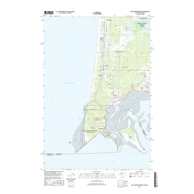
2017 Map of Cape Disappointment
USGS Topo · Published 2017About this map
Cape Disappointment dominates the southern tip of the Long Beach Peninsula, marking the treacherous meeting point of the Pacific Ocean and the Columbia River. This coastal landscape is defined by its maritime history and military heritage, evidenced by the presence of Fort Canby and the sprawling Lewis and Clark National Historical Park. The survey details the established settlements of Long Beach, Ilwaco, and Seaview, showing the transition from sandy beaches to the wetlands of the Willapa National Wildlife Refuge.
Find a feature on this map
58 named features on this map. Tap any name to fly to it.
Don’t see what you’re looking for? This feature index may not catch every label — zoom into the map to look around manually.
Map Details
Editions of this 2017 Cape Disappointment Map
This is the sole edition of this map. No revisions or reprints were ever made.
Other maps of this area

1919 · Astoria
USGS Topo · 1:62,500

1938 · Cape Disappointment
USGS Topo · 1:62,500

1938 · Fort Columbia
USGS Topo · 1:62,500

1939 · Astoria
USGS Topo · 1:62,500

1943 · Fort Columbia
USGS Topo · 1:62,500

1943 · Copalis Beach
USGS Topo · 1:250,000

1949 · Chinook
USGS Topo · 1:24,000

1949 · Ocean Park
USGS Topo · 1:24,000

1949 · Long Island
USGS Topo · 1:24,000
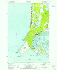
1949 · Cape Disappointment
USGS Topo · 1:24,000