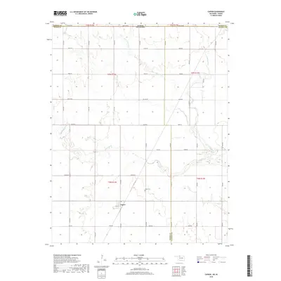
2018 Map of Capron
USGS Topo · Published 2018About this map
Capron sits at the intersection of rural section roads in northern Woods County, serving as the primary anchor for this agricultural landscape along the Oklahoma-Kansas border. The town site, featuring Grant St and surrounding residential blocks, is located just south of the Capron Cem. This 2018 survey reveals a terrain defined by a network of drainage systems, with the winding course of Driftwood Cr and its tributaries, including Little Driftwood Cr, carving across the prairie. The map captures the highly organized Public Land Survey System grid, where roads like Kiowa Rd and Osage Rd follow township and range lines. Along the northern margin, State Line Rd marks the boundary with Kansas, while the eastern edge highlights the transition into Alfalfa County. The presence of Little Mule Cr and Dry Cr further illustrates the hydrology that has shaped the settlement patterns and land use in this borderland region.
Find a feature on this map
39 named features on this map. Tap any name to fly to it.
Don’t see what you’re looking for? This feature index may not catch every label — zoom into the map to look around manually.
Map Details
Editions of this 2018 Capron Map
This is the sole edition of this map. No revisions or reprints were ever made.
Other maps of this area

1889 · Anthony
USGS Topo · 1:125,000

1891 · Medicine Lodge
USGS Topo · 1:125,000

1891 · Anthony
USGS Topo · 1:125,000

1893 · Medicine Lodge
USGS Topo · 1:125,000

1955 · Woodward
USGS Topo · 1:250,000

1955 · Pratt
USGS Topo · 1:250,000

1958 · Woodward
USGS Topo · 1:250,000

1959 · Pratt
USGS Topo · 1:250,000

1968 · Capron
USGS Topo · 1:24,000

1969 · Alva SE
USGS Topo · 1:24,000