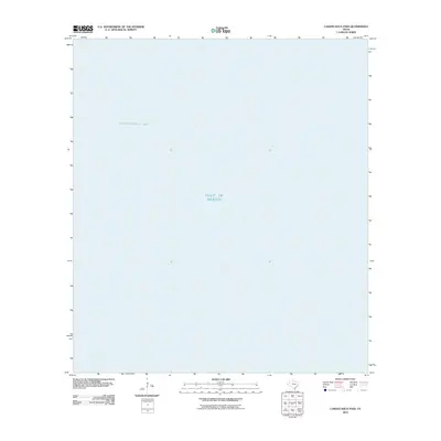
2010 Map of Carancahua Pass
USGS Topo · Published 2010About this map
Matagorda Bay meets the open waters of the Gulf of Mexico in this coastal survey of the Texas shoreline. Located south of the mainland, the map focuses on the hydrologic boundary where the bay's protected waters transition into the gulf. This 2010 edition, produced by the U.S. Geological Survey, reflects the modern maritime geography of the area, though it contains no terrestrial contour data or land-based settlements. The lack of interior landmarks emphasizes the maritime focus of the quadrangle, serving as a clean record of the coastal interface and water bodies along this stretch of Matagorda County.
Find a feature on this map
2 named features on this map. Tap any name to fly to it.
Don’t see what you’re looking for? This feature index may not catch every label — zoom into the map to look around manually.
Map Details
Editions of this 2010 Carancahua Pass Map
This is the sole edition of this map. No revisions or reprints were ever made.
Other maps of this area

1951 · Keller Bay
USGS Topo · 1:24,000

1952 · Palacios Point
USGS Topo · 1:24,000

1952 · Palacios
USGS Topo · 1:24,000

1952 · Olivia
USGS Topo · 1:24,000

1952 · Turtle Bay
USGS Topo · 1:24,000

1952 · South of Palacios Point
USGS Topo · 1:24,000

1952 · Decros Point
USGS Topo · 1:24,000

1952 · Port O'Connor
USGS Topo · 1:24,000

1953 · Beeville
USGS Topo · 1:250,000

1956 · Beeville
USGS Topo · 1:250,000