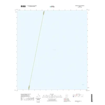
2019 Map of Carancahua Pass
USGS Topo · Published 2019About this map
Matagorda Bay dominates this coastal survey, where the expanse of the bay meets the vital transit artery of the Intracoastal Waterway. This aquatic landscape is divided by the nautical boundary line between Calhoun Co and Matagorda Co, which stretches diagonally across the open water. The map documents a strictly maritime environment as it existed in the late 2010s, focusing on the navigable channels and political demarcations within the Carancahua Pass area. Without the presence of land-based structures, schools, or cemeteries, the map serves as a specialized record of the Texas coastline's hydrologic and jurisdictional boundaries.
Find a feature on this map
3 named features on this map. Tap any name to fly to it.
Don’t see what you’re looking for? This feature index may not catch every label — zoom into the map to look around manually.
Map Details
Editions of this 2019 Carancahua Pass Map
This is the sole edition of this map. No revisions or reprints were ever made.
Other maps of this area

1951 · Keller Bay
USGS Topo · 1:24,000

1952 · Palacios Point
USGS Topo · 1:24,000

1952 · Palacios
USGS Topo · 1:24,000

1952 · Olivia
USGS Topo · 1:24,000

1952 · Turtle Bay
USGS Topo · 1:24,000

1952 · South of Palacios Point
USGS Topo · 1:24,000

1952 · Decros Point
USGS Topo · 1:24,000

1952 · Port O'Connor
USGS Topo · 1:24,000

1953 · Beeville
USGS Topo · 1:250,000

1956 · Beeville
USGS Topo · 1:250,000