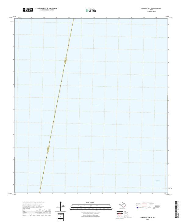
2022 Map of Carancahua Pass
USGS Topo · Published 2022About this map
Matagorda Bay dominates this coastal survey, where the open waters of the Texas Gulf Coast meet the intricate maritime boundaries of the region. The map captures a critical section of the Intracoastal Waterway, a vital commercial artery for the Gulf's shipping and industrial transit. This maritime environment is bisected by the county line separating Calhoun Co and Matagorda Co, which runs diagonally across the bay. As a modern digital-era topographic record, the focus remains primarily on these aquatic thoroughfares and the administrative divisions that govern these coastal waters, offering a clear view of the navigational landscape of the Carancahua Pass vicinity.
Find a feature on this map
3 named features on this map. Tap any name to fly to it.
Don’t see what you’re looking for? This feature index may not catch every label — zoom into the map to look around manually.
Map Details
Editions of this 2022 Carancahua Pass Map
This is the sole edition of this map. No revisions or reprints were ever made.
Other maps of this area

1951 · Keller Bay
USGS Topo · 1:24,000

1952 · Palacios Point
USGS Topo · 1:24,000

1952 · Palacios
USGS Topo · 1:24,000

1952 · Olivia
USGS Topo · 1:24,000

1952 · Turtle Bay
USGS Topo · 1:24,000

1952 · South of Palacios Point
USGS Topo · 1:24,000

1952 · Decros Point
USGS Topo · 1:24,000

1952 · Port O'Connor
USGS Topo · 1:24,000

1953 · Beeville
USGS Topo · 1:250,000

1956 · Beeville
USGS Topo · 1:250,000