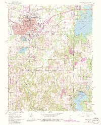
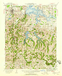
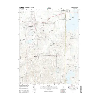
1966 Map of Carbondale
USGS Topo · Published 1990About this map
Southern Illinois University dominates the southwestern quadrant of Carbondale, showing the campus layout centered around Campus Lake and the Radio Tower (WSIU). The urban center features a dense concentration of civic institutions, including Holden Hospital and Attucks School, while the eastern edges transition into the Crab Orchard National Wildlife Refuge.
Find a feature on this map
44 named features on this map. Tap any name to fly to it.
Don’t see what you’re looking for? This feature index may not catch every label — zoom into the map to look around manually.
Map Details
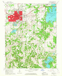
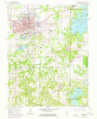
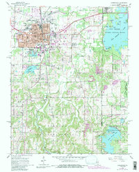
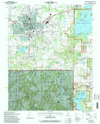
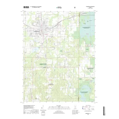
Editions of this 1966 Carbondale Map
4 editions found
Historical Maps of Carbondale Through Time
11 maps found
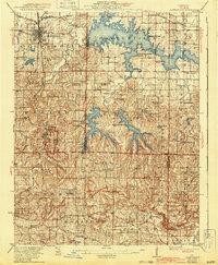
1922 Carbondale
Jackson County, IL
1941 Carbondale
Jackson County, IL
1966 Carbondale
Jackson County, IL

1984 Carbondale
Jackson County, IL

1986 Carbondale
Jackson County, IL
1996 Carbondale
Jackson County, IL
2012 Carbondale
Jackson County, IL
2015 Carbondale
Jackson County, IL
2018 Carbondale
Jackson County, IL

2021 Carbondale
Jackson County, IL
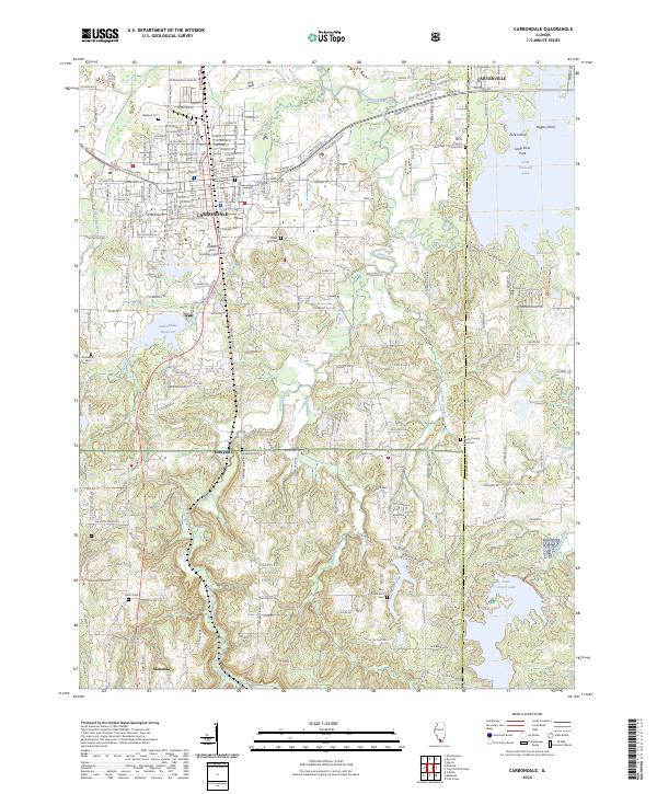
2024 Carbondale
Jackson County, IL