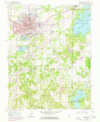
1966 Map of Carbondale
USGS Topo · Published 1978About this map
The growing campus of Southern Illinois University anchors the southwest corner of Carbondale, showing the city's mid-century expansion into what was once rural Jackson County. The Illinois Central Railroad bisects the downtown, serving as the industrial spine for the region's transport network. This 1966 survey, later updated in 1978, documents the city's institutional landscape through sites like Holden Hospital and the Attucks Sch, reflecting the local community's social structure.
Find a feature on this map
47 named features on this map. Tap any name to fly to it.
Don’t see what you’re looking for? This feature index may not catch every label — zoom into the map to look around manually.
Map Details
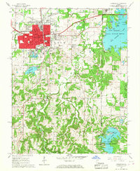
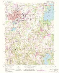
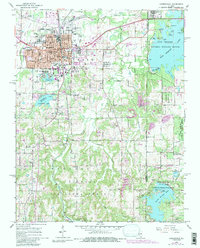
Editions of this 1966 Carbondale Map
4 editions found
Other maps of this area

1910 · Herrin
USGS Topo · 1:62,500

1910 · Murphysboro
USGS Topo · 1:62,500

1922 · Carbondale
USGS Topo · 1:62,500

1924 · Alto Pass
USGS Topo · 1:62,500

1936 · Herrin
USGS Topo · 1:62,500

1938 · Murphysboro
USGS Topo · 1:62,500

1941 · Carbondale
USGS Topo · 1:62,500

1947 · Alto Pass
USGS Topo · 1:62,500
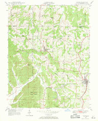
1947 · Cobden
USGS Topo · 1:24,000
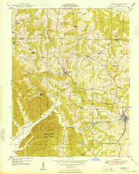
1948 · Cobden
USGS Topo · 1:24,000