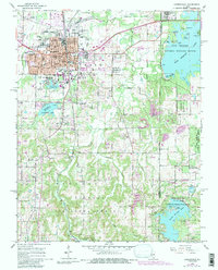
1966 Map of Carbondale
USGS Topo · Published 1990About this map
Carbondale is shown at a mid-century period of significant institutional growth, anchored by the expansion of Southern Illinois University around Campus Lake. The city layout is highly detailed, featuring civic landmarks like City Hall, Holden Hospital, and local educational institutions such as Attucks Sch and Lincoln Jr High Sch. Beyond the urban core, the landscape transitions into the preserved acreage of the Shawnee National Forest and Giant City State Park to the south. The eastern edge is defined by the recreation and wildlife habitats of Crab Orchard Lake and the Crab Orchard National Wildlife Refuge. Local history is preserved in the location of several country churches, including Lakeland Ch and Drury Ch, and the small settlements of Boskydell and Makanda. An Old Railroad Grade crossing the northern portion of the map provides a glimpse into the evolving transportation infrastructure of Jackson County.
Find a feature on this map
48 named features on this map. Tap any name to fly to it.
Don’t see what you’re looking for? This feature index may not catch every label — zoom into the map to look around manually.
Map Details
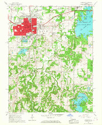
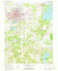
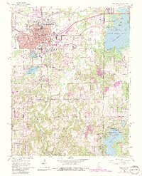
Editions of this 1966 Carbondale Map
4 editions found
Other maps of this area

1910 · Herrin
USGS Topo · 1:62,500

1910 · Murphysboro
USGS Topo · 1:62,500

1922 · Carbondale
USGS Topo · 1:62,500

1924 · Alto Pass
USGS Topo · 1:62,500

1936 · Herrin
USGS Topo · 1:62,500

1938 · Murphysboro
USGS Topo · 1:62,500

1941 · Carbondale
USGS Topo · 1:62,500

1947 · Alto Pass
USGS Topo · 1:62,500
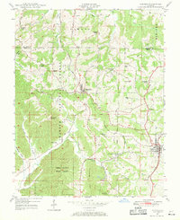
1947 · Cobden
USGS Topo · 1:24,000
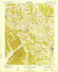
1948 · Cobden
USGS Topo · 1:24,000