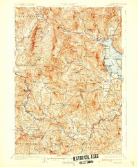
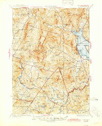
1930 Map of Cardigan
USGS Topo · Published 1930About this map
Mt Cardigan dominates this central New Hampshire landscape, serving as a focal point for the surrounding Cardigan State Forest and Welton Falls State Forest. The 1927 survey captures a region defined by its narrow valleys and granite peaks, where industry and education are scattered among the ridges. Local mining history is evident at the Alexandria Mica Mine, while the southern corridor follows the Boston and Maine Railroad through settlements like Grafton Center and Danbury.
Find a feature on this map
148 named features on this map. Tap any name to fly to it.
Don’t see what you’re looking for? This feature index may not catch every label — zoom into the map to look around manually.
Map Details
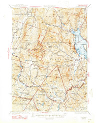
Editions of this 1930 Cardigan Map
7 editions found

Other maps of this area

1902 · Sunapee
USGS Topo · 1:62,500

1905 · Sunapee
USGS Topo · 1:62,500

1907 · Sunapee
USGS Topo · 1:62,500

1925 · Holderness
USGS Topo · 1:62,500

1927 · Penacook
USGS Topo · 1:62,500

1927 · Holderness
USGS Topo · 1:62,500

1927 · Cardigan
USGS Topo · 1:62,500

1927 · Mascoma
USGS Topo · 1:62,500

1928 · Mount Kearsarge
USGS Topo · 1:62,500

1928 · Plymouth
USGS Topo · 1:62,500