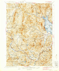
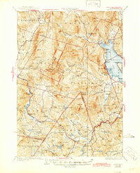
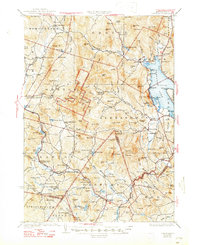
1930 Map of Cardigan
USGS Topo · Published 1939About this map
Mt Cardigan dominates this central New Hampshire landscape, surrounded by a network of rural schoolhouses and small settlements connected by the Boston and Maine RR. The map illustrates a period of industrial activity in the woods, specifically noted at the Alexandria Mica Mine and several gravel or sand excavations like the Derby Pit. To the east, the shoreline of Newfound Lake features early recreational developments such as Nutting Beach and Whittemore Point.
Find a feature on this map
137 named features on this map. Tap any name to fly to it.
Don’t see what you’re looking for? This feature index may not catch every label — zoom into the map to look around manually.
Map Details
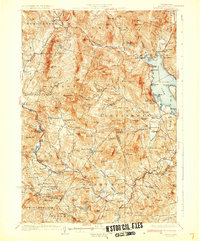
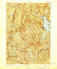
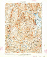
Editions of this 1930 Cardigan Map
7 editions found

Other maps of this area

1902 · Sunapee
USGS Topo · 1:62,500

1905 · Sunapee
USGS Topo · 1:62,500

1907 · Sunapee
USGS Topo · 1:62,500

1925 · Holderness
USGS Topo · 1:62,500

1927 · Penacook
USGS Topo · 1:62,500

1927 · Holderness
USGS Topo · 1:62,500

1927 · Cardigan
USGS Topo · 1:62,500

1927 · Mascoma
USGS Topo · 1:62,500

1928 · Mount Kearsarge
USGS Topo · 1:62,500

1928 · Plymouth
USGS Topo · 1:62,500