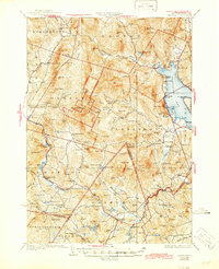
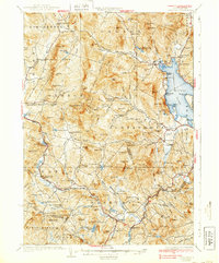
1930 Map of Cardigan
USGS Topo · Published 1945About this map
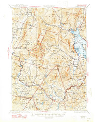
Mt Cardigan dominates the landscape of this New Hampshire region, surrounded by the dedicated Cardigan State Forest. The map documents a rugged interior of the late 1920s, where small settlements like Groton, Alexandria, and Hebron are connected by a network of local roads and the Boston and Maine railroad. Industrial and educational history is prominent, from the Alexandria Mica Mine to numerous rural schoolhouses such as Riverside Sch and North Road Sch.
Find a feature on this map
156 named features on this map. Tap any name to fly to it.
Don’t see what you’re looking for? This feature index may not catch every label — zoom into the map to look around manually.
Map Details
Editions of this 1930 Cardigan Map
7 editions found

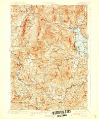
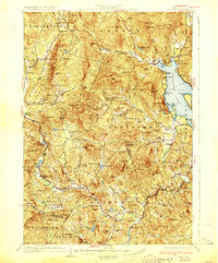
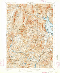
Other maps of this area

1902 · Sunapee
USGS Topo · 1:62,500

1905 · Sunapee
USGS Topo · 1:62,500

1907 · Sunapee
USGS Topo · 1:62,500

1925 · Holderness
USGS Topo · 1:62,500

1927 · Penacook
USGS Topo · 1:62,500

1927 · Holderness
USGS Topo · 1:62,500

1927 · Cardigan
USGS Topo · 1:62,500

1927 · Mascoma
USGS Topo · 1:62,500

1928 · Mount Kearsarge
USGS Topo · 1:62,500

1928 · Plymouth
USGS Topo · 1:62,500